When the Turkana Basin was not dominated by river systems, the rock record indicates several paleo-lakes occupied the region and sometimes reached over 100 kilometers away from the present lake margin. Instead of just recording the depositional environments that have occurred, a field geologist will try to determine the causes of such changes in order to reconstruct what the landscape looked like at different periods of time. Why did fluvial systems occupy the Turkana Basin for a greater period of time than lakes? How do lakes form? Where does it get its water? And other questions that will not be answered in this module – What type of life occurred in the Turkana Basin? Where? When? Why in that particular location?
To start, it’s important to know that the Turkana Basin is located within the East African Rift System (diagram below) and within a depression between the Ethiopian and Kenyan domes. As a result of tectonic processes and magmatic activity, Africa is slowly splitting apart in the eastern part of the continent and has created a rift valley. Some geologists believe this region may extend far enough to create a sea, such as the Red Sea, or possibly an ocean. For now, faults and volcanic dams along the rift valley have created a number of basins that is mostly occupied by lakes.
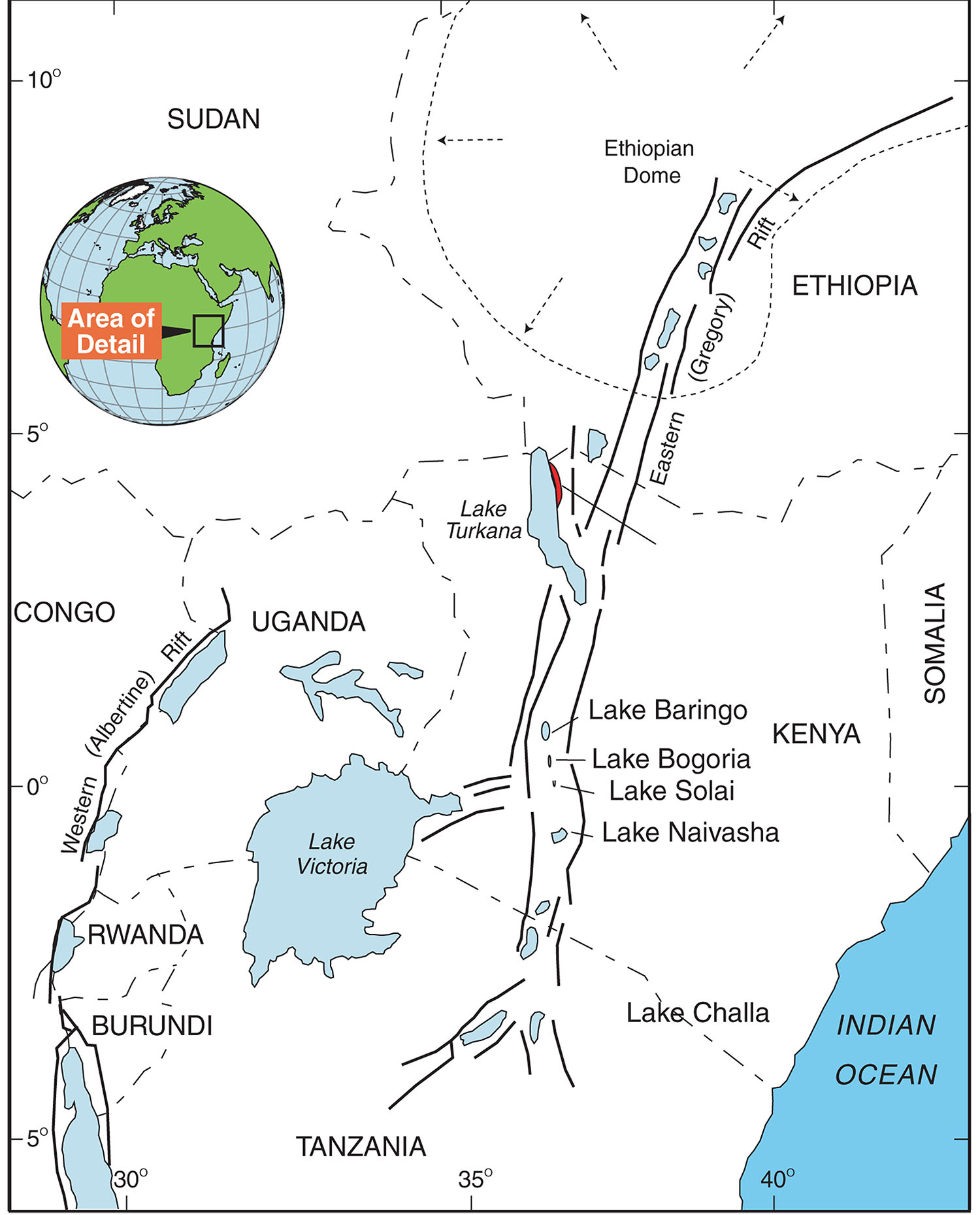
Lake Turkana is located with the eastern branch of the East African Rift System. Figure from Ashley et al., 2011
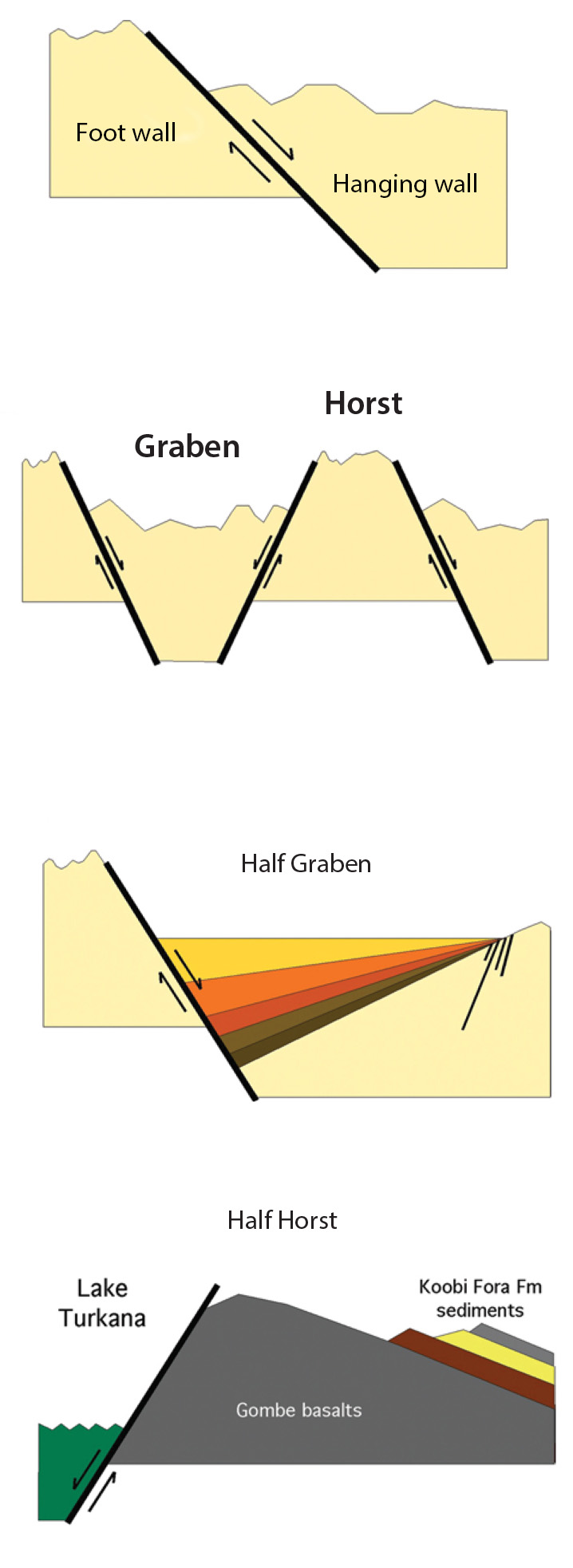
Normal Fault structures that are common in the Turkana Basin. Figure from Feibel 2011.
From the above diagram, you can now see how a typical graben and horst (basin and ridge) form however, what about the lake water? This is where the climate of the catchment basin comes in. The modern lake Turkana receives about 90% of its water from the Omo River that drains the lush and green Ethiopian Highlands and empties into the north end of the lake. More rain in the highlands and the rest of the Turkana Basin usually means higher lake levels. Sediment is also carried with the rivers and this means that all this “dirt” will accumulate in the basin over time and will eventually fill it. With no space for lake water, river systems occupied the Turkana Basin and moved through to reach the nearest base level, the Indian Ocean. This sequence repeats again with lake formation if enough space (faulting and basin formation) and water (local and/or climate changes) then, return to river systems when sediment has filled the lakes.
- Modern Lake Turkana shoreline
Within the present Lake Turkana, sedimentary deposits and their structures vary from the shoreline to further out in the lake. Some areas may be dominated with sand, mud, or a particular organic, chemical, and/or biological (e.g. oysters) material due to depositional patterns, water chemistry, and currents within the lake.
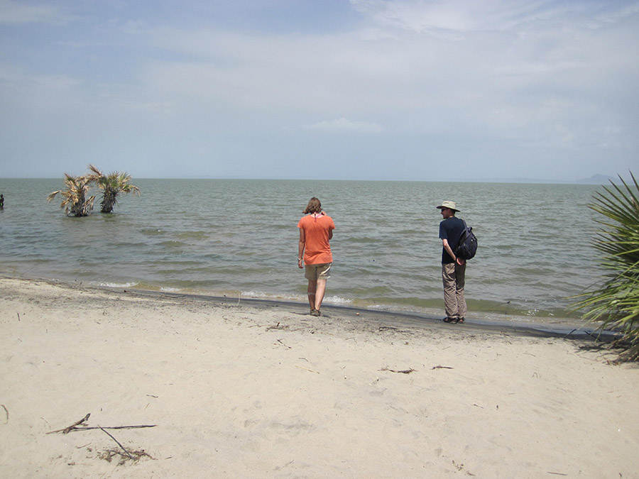
Kate and Mike check the water temperature of the lake to decide if they will go swimming. This is the present shoreline at Eliye Springs. Note the partially submerged tree from a recent rise in lake level.
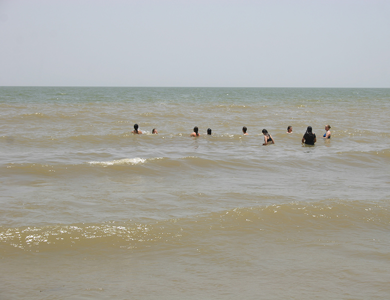
Everyone thought the water temperature was great and didn’t want to get out when it was time to go.
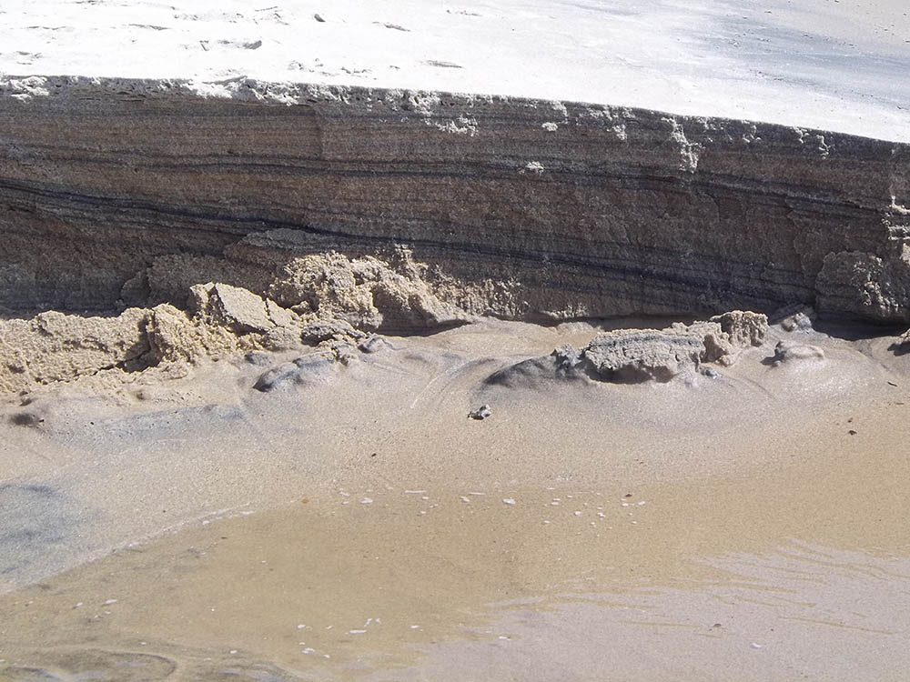
Laminated sand on the gently sloping beach face.
If larger rocks are eroded at the shore, flat pebbles will eventually form from the constant bidirectional flow of the waves at the lakeshore. Compare this to the pebbles in a river channel with unidirectional flow and more spherical clasts.
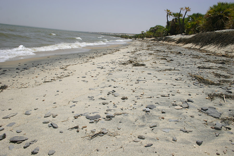
Lake Turkana shoreline north of Eliye Springs.
Older rock beds in this area (not shown) have weathered out and eventually formed Flat pebbles. Overtime they will also turn into sand.
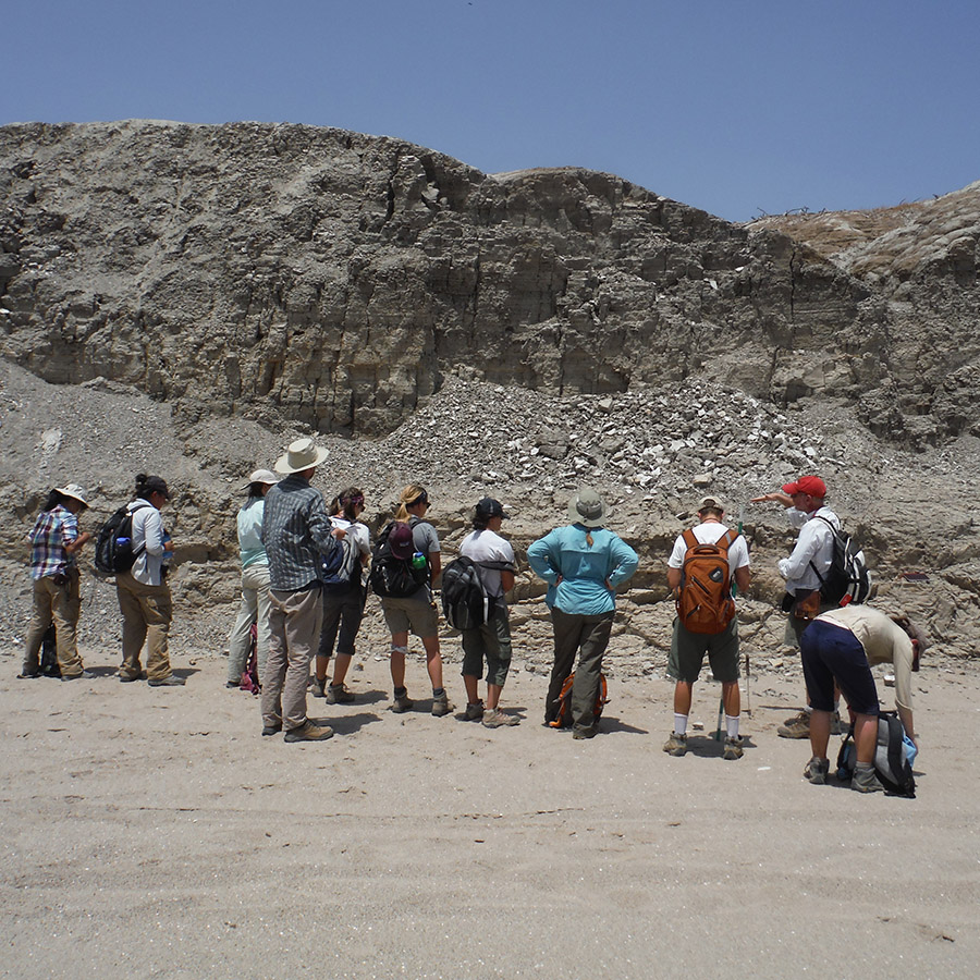
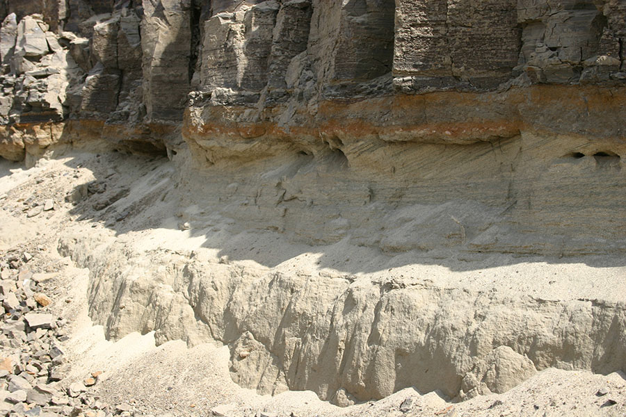
Kabua Gorge, cut by the Kalakol River, was our first trip to examine paleo-lake deposits. This location exposes ~10,000 year old and younger lacustrine sedimentary beds resting on top of and adjacent to Miocene volcanics. The present water level of Lake Turkana is approximately 368 meters above sea level. During a humid period in the Turkana Basin (and most of northern Africa), lake levels in the basin reached up to 456 m asl, an overflow point into the Nile drainage basin. In the area of Kabua Gorge, the paleo-Kalokol River had cut down into the faulted volcanic deposits that make up the Lothidok Range. Much later, the area was inundated by lake highstands during the Holocene and deposited shell rich sands at the shore and siltstones in deeper water.
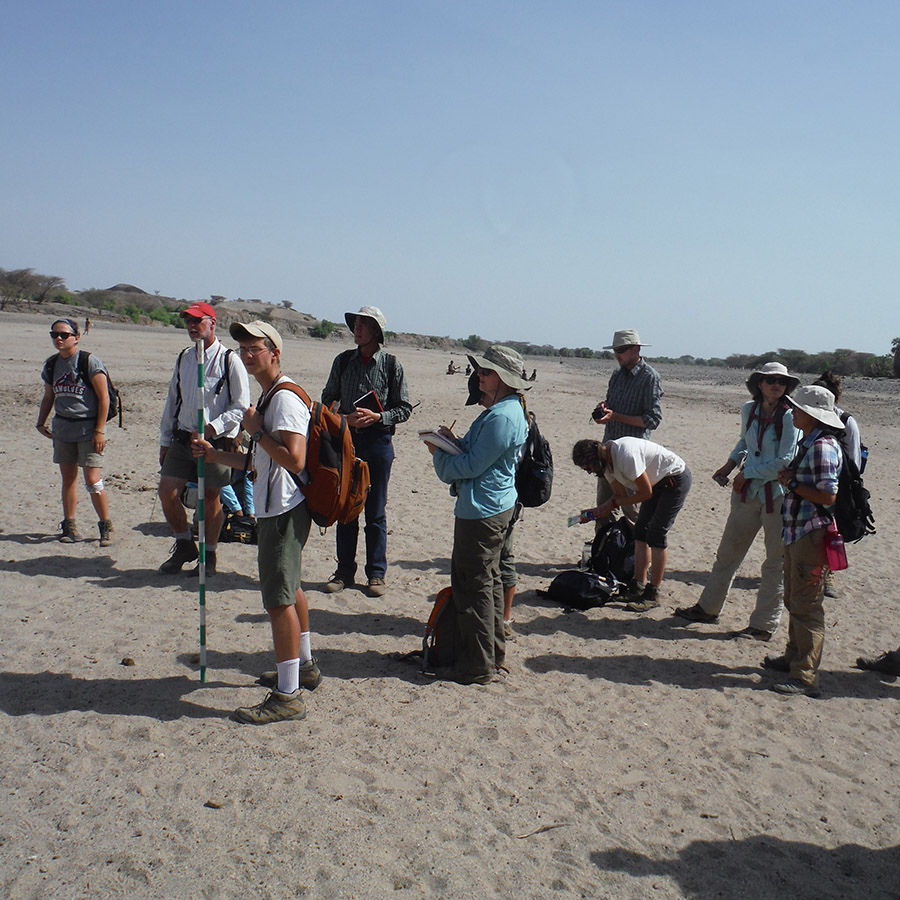
Here are some pictures from our trip to Kabua Gorge
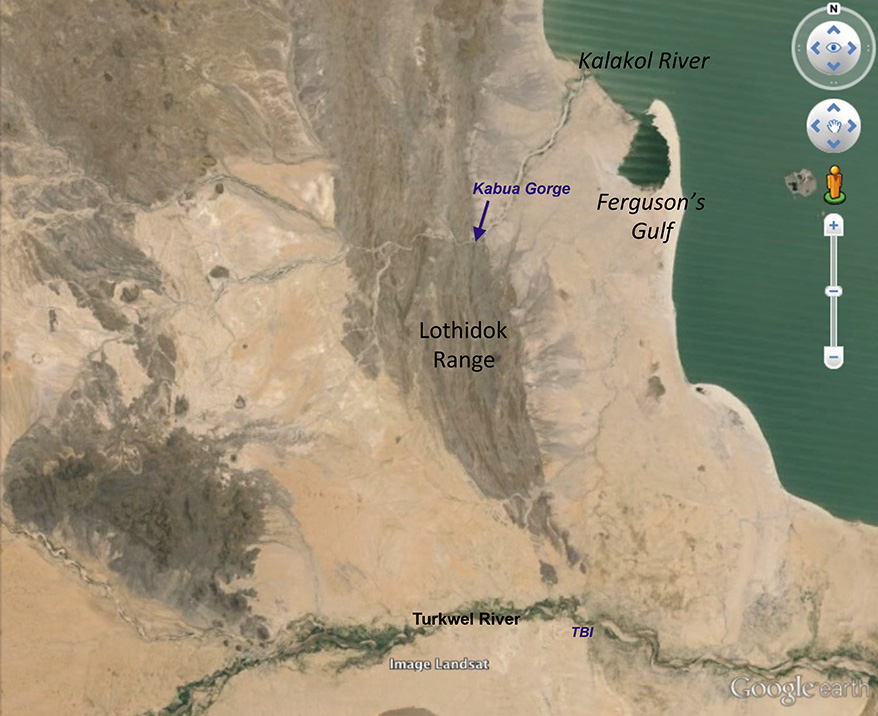
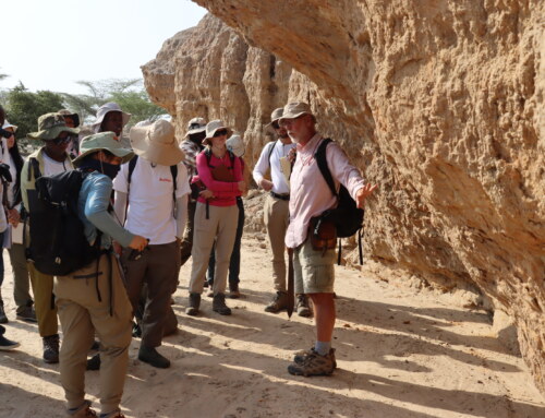
The Lothidok Range is made up of Late Oligocene to Middle Miocene volcanics and sedimentary deposits where a number of faults have shaped the relief across this area. Kabua Gorge formed within the range as a result of the Kalakol River eroding across in its path towards base level, presently Lake Turkana.
The group prepares for the long hike.
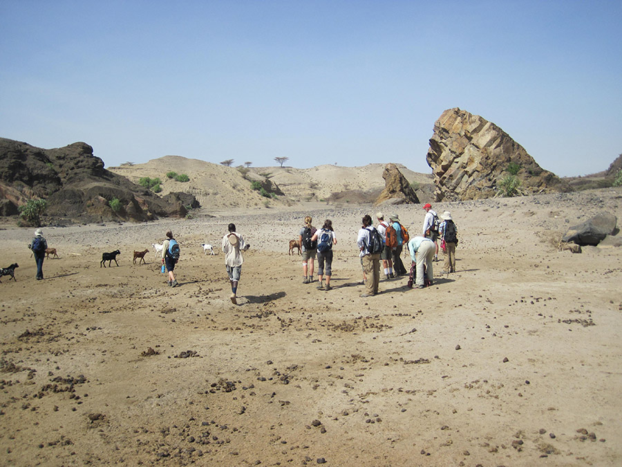
Beginning our hike up the dry bed of the Kalakol River.
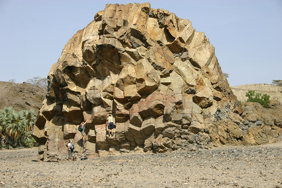
Larisa, Rachel, and Anna take a break for a bit of rock climbing.
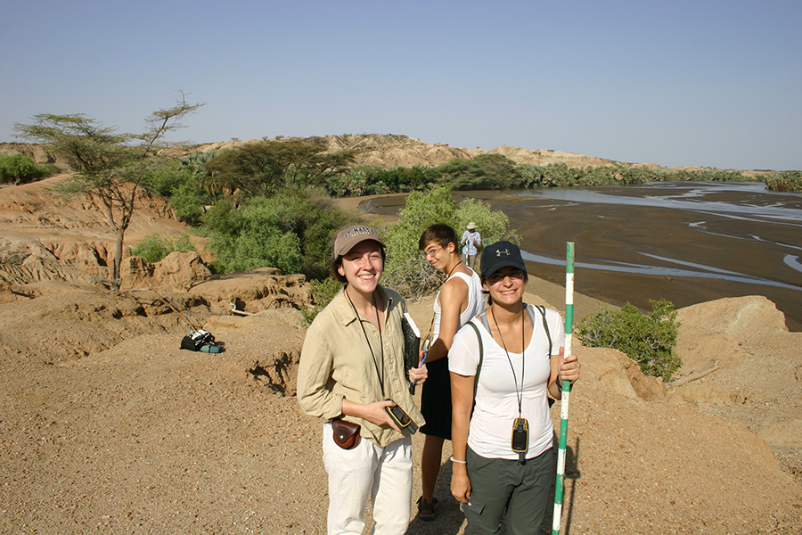
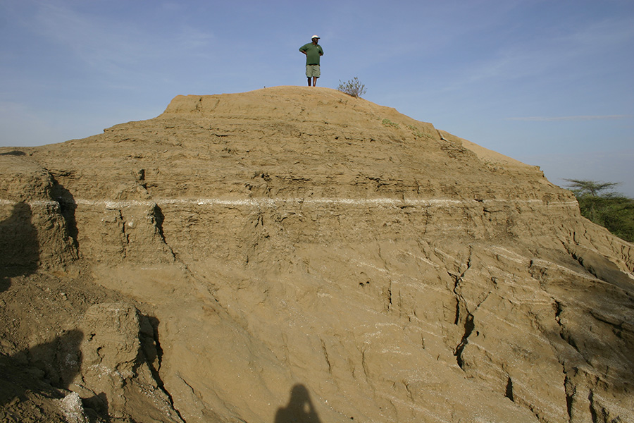
Students plan a quick hike up the hill to check the elevation with their GPS and to have a better look around the area.
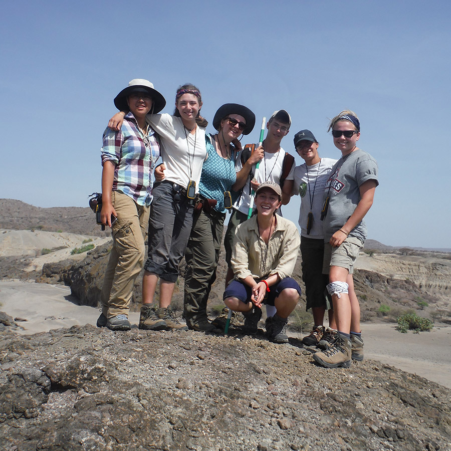
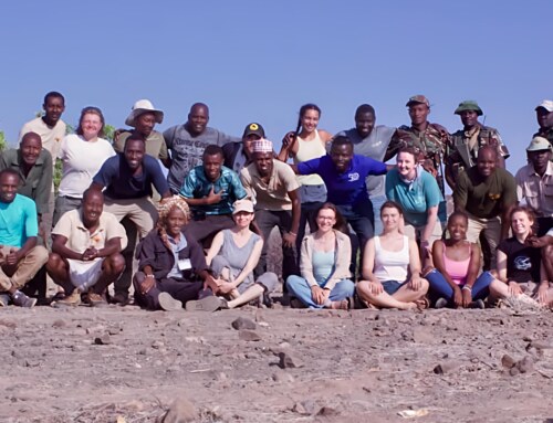
Group pic at the top of hill.
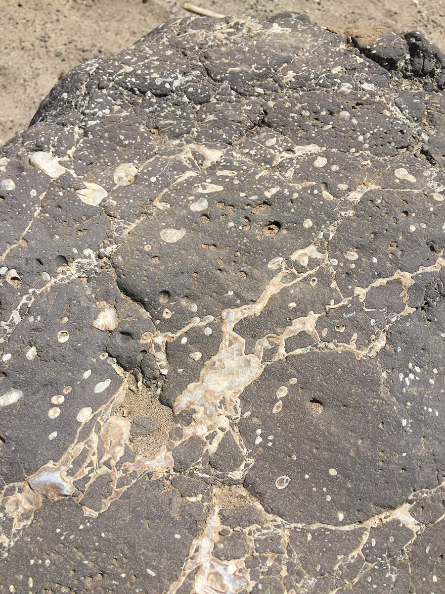
Cracks within the basalt have been filled in with calcite.
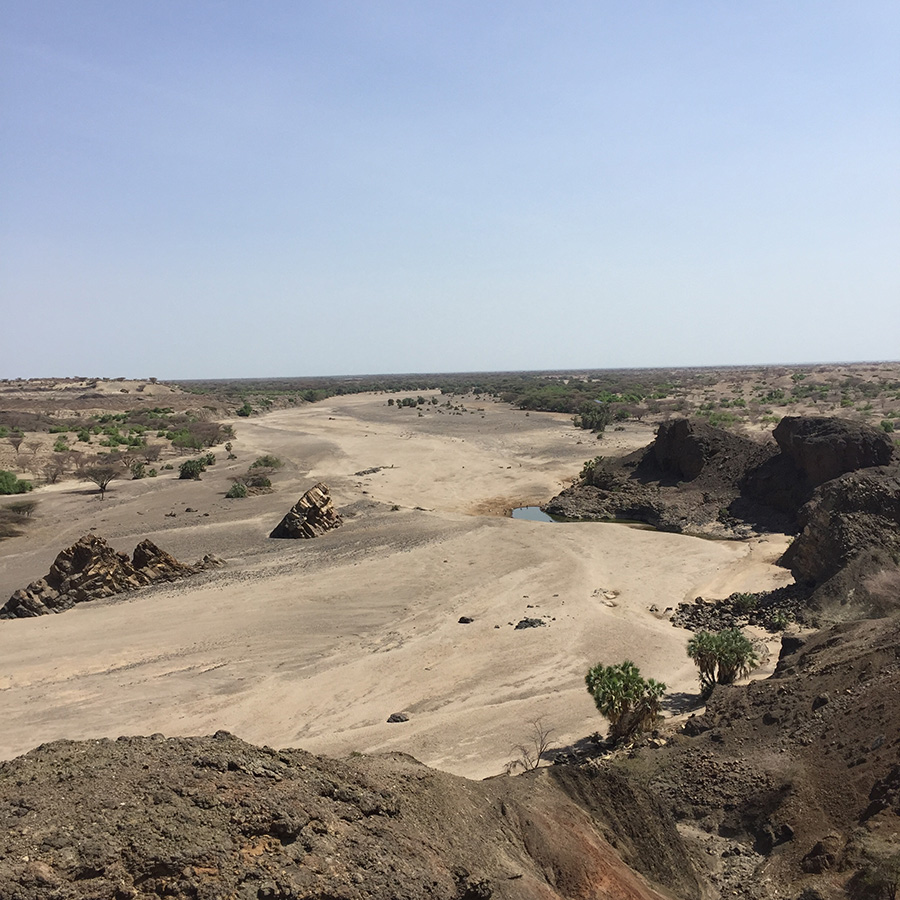
View down the Kalakol River towards the lake ~20 km away.
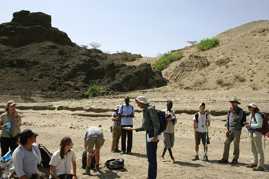
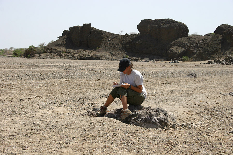
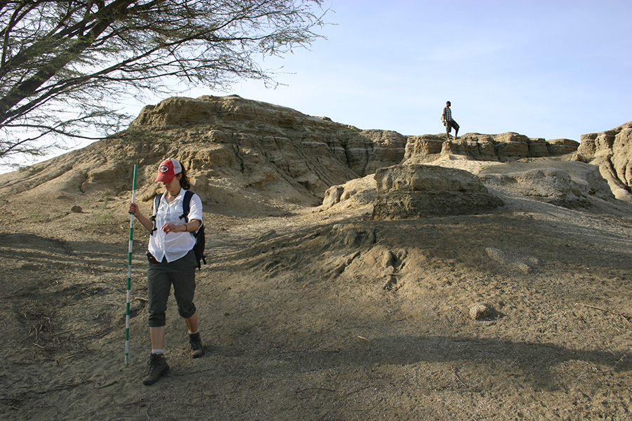
While some students decided to race up the hill, Kate examines the rocks within a fault zone.
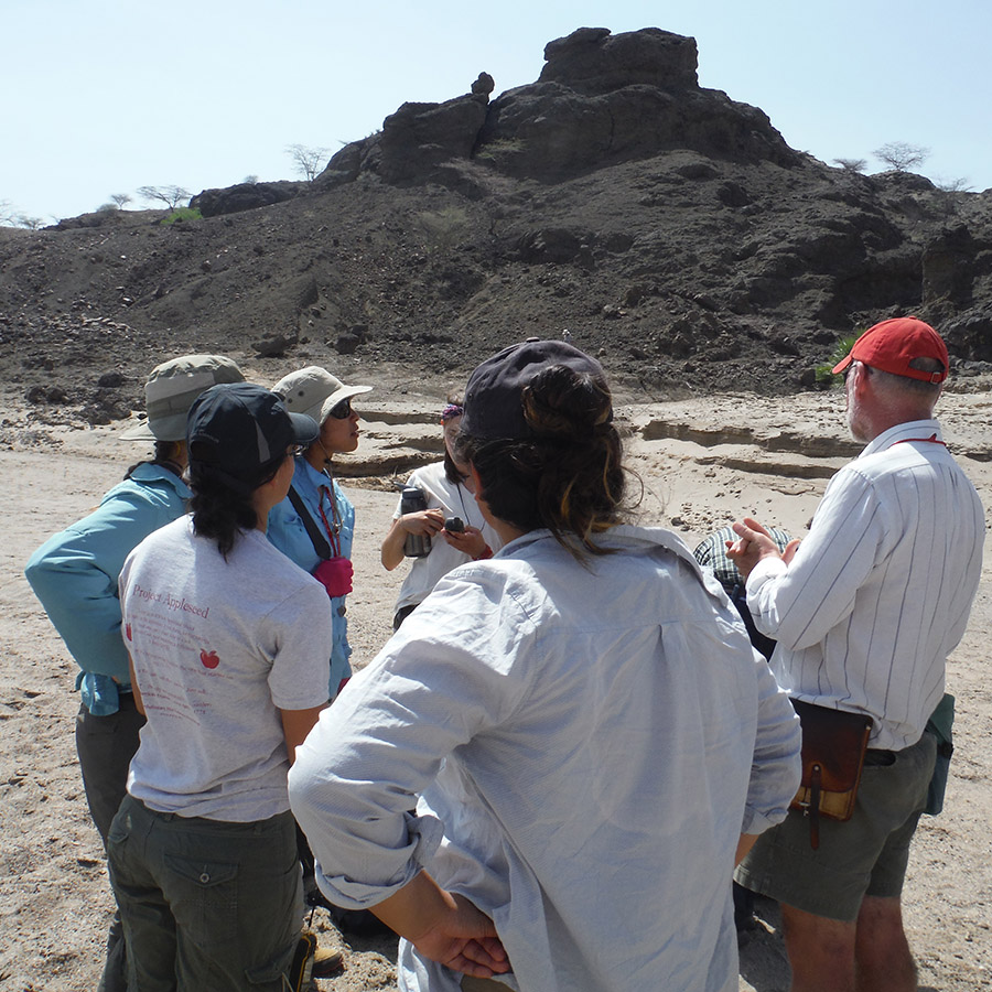
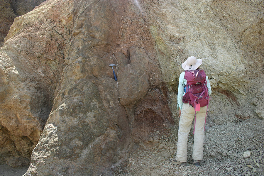
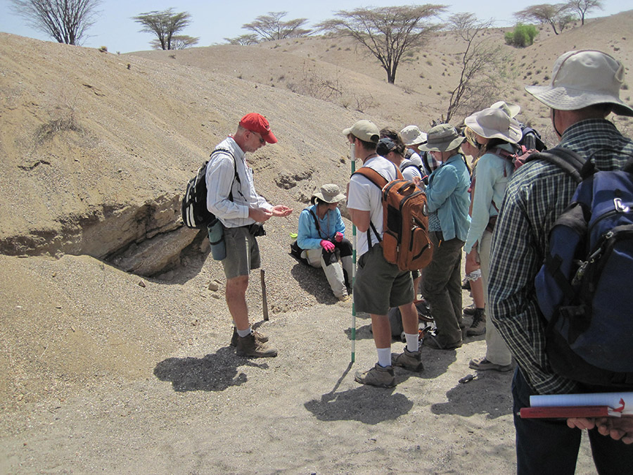
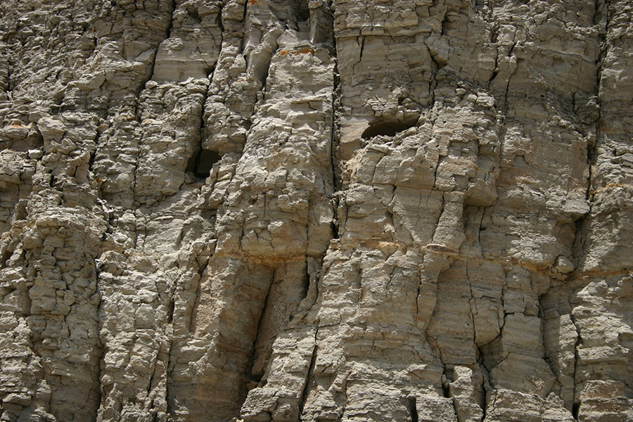
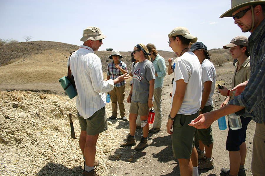
Professor Reynolds points out how the gravel in this river differ from what we’ve seen near the Turkwel River. Behind the group you can see <10,000 year old lake beds resting against ~25 million year old basalts. In addition, Professor Reynolds points out the major fault that is located at the eastern boundary of the Lothidok Range and extends to “Cellphone Hill” near TBI.
Jayde creates a sketch of the unconformity the basalt and adjacent sandstone outcrop, emphasizing the unconformity.
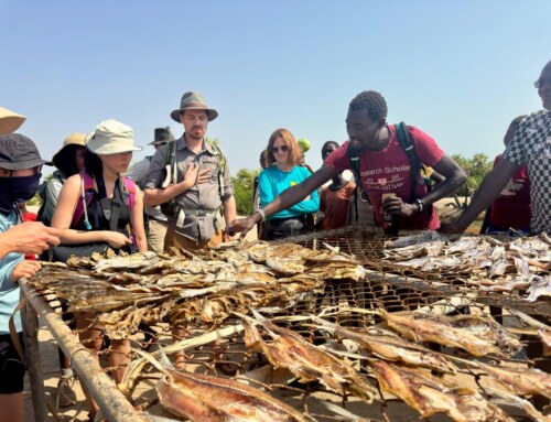
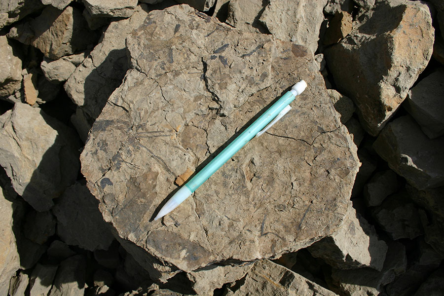
Dr. Feibel stops at this beach deposit to point out common species of mollusks from the Holocene.
Sam takes a closer look to examine the Holocene clams and snails.
Professor Reynolds discusses the Holocene highstand at their current elevation of about 456 meters above sea level.
Mudstones within Kabua Gorge/Kalakol River. These beds formed in deeper water.
These two voids once contained ant burrows and sometime after the lake had receded.
Highstand of Lake Turkana approximately 9,000 years ago. Paleography diagram created by Patricia Schwindinger and Dr. Craig S. Feibel
Stop 2- Middle Holocene Archaeological Site
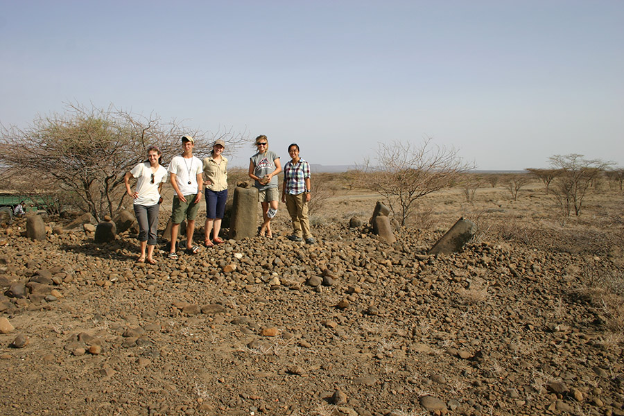
Middle Holocene stone pillar site within the Lothidok Range and approximately 10 kilometers south of Kabua Gorge….. more about this in the next module- Archaeology.
Stop 3- Pliocene Lake beds
Lake Lonyumum was the largest lake to occupy much of the Turkana Basin approximately 4.1 million years ago. The climate of the region was much different than today. Studies on paleosol (ancient soil) carbonates and fauna indicate a woodland habitat once covered the landscape and was slowly replaced by wooded grasslands as the region became more arid approximately 2 million years ago.
Dr. Feibel describes the Turkana region when Lake Lonyumun occupied the basin. Here, the 4.1 million year old lacustrine claystones lie unconformably next to and on top of ~ 24 million year old volcanic deposits in the Lothidok Range. The age of the lake beds is based on a nearby Moiti tuff (not shown but is approximately 3.97 million years old based on radiometric dating).
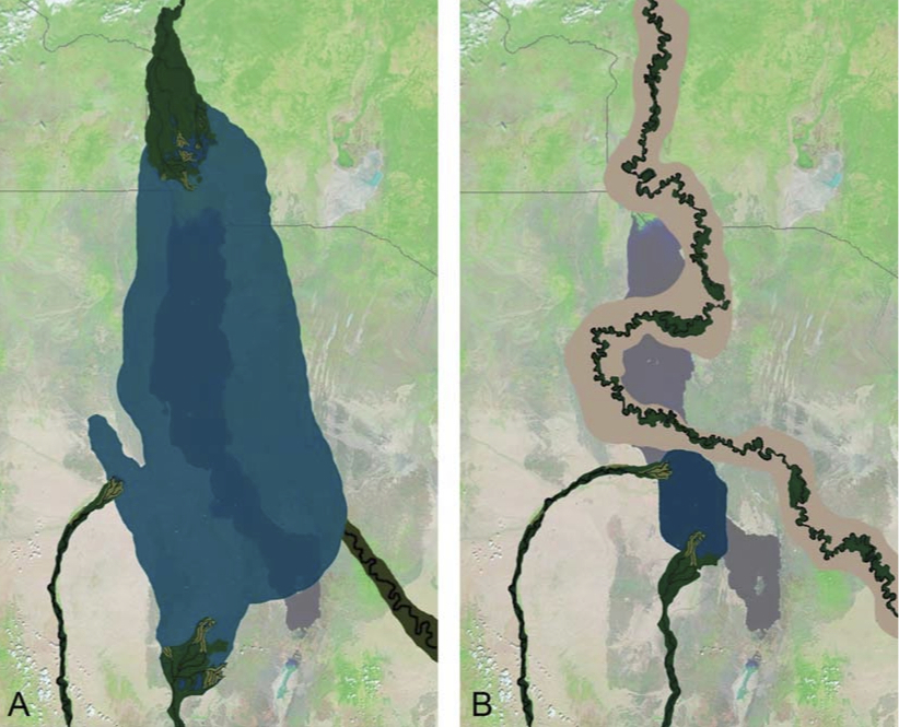
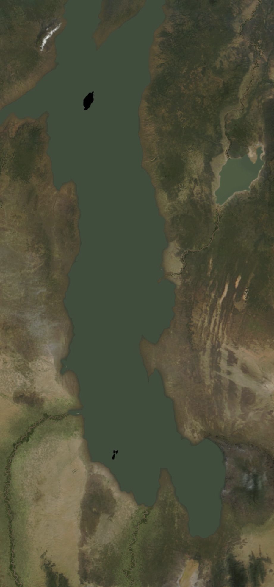
Paleogeographic reconstruction of Lonyumun Lake (A). Diagram B illustrates what the landscape most likely looked like during the deposition of the Moiti Tuff and filling of the basin. For reference, the modern Lake Turkana is outlined. Diagram from Feibel 2011. If you want to see more paleogeography maps of the Turkana Basin, check out Dr. Feibel’s and Patricia Schwindinger’s diagrams on National Geographic.
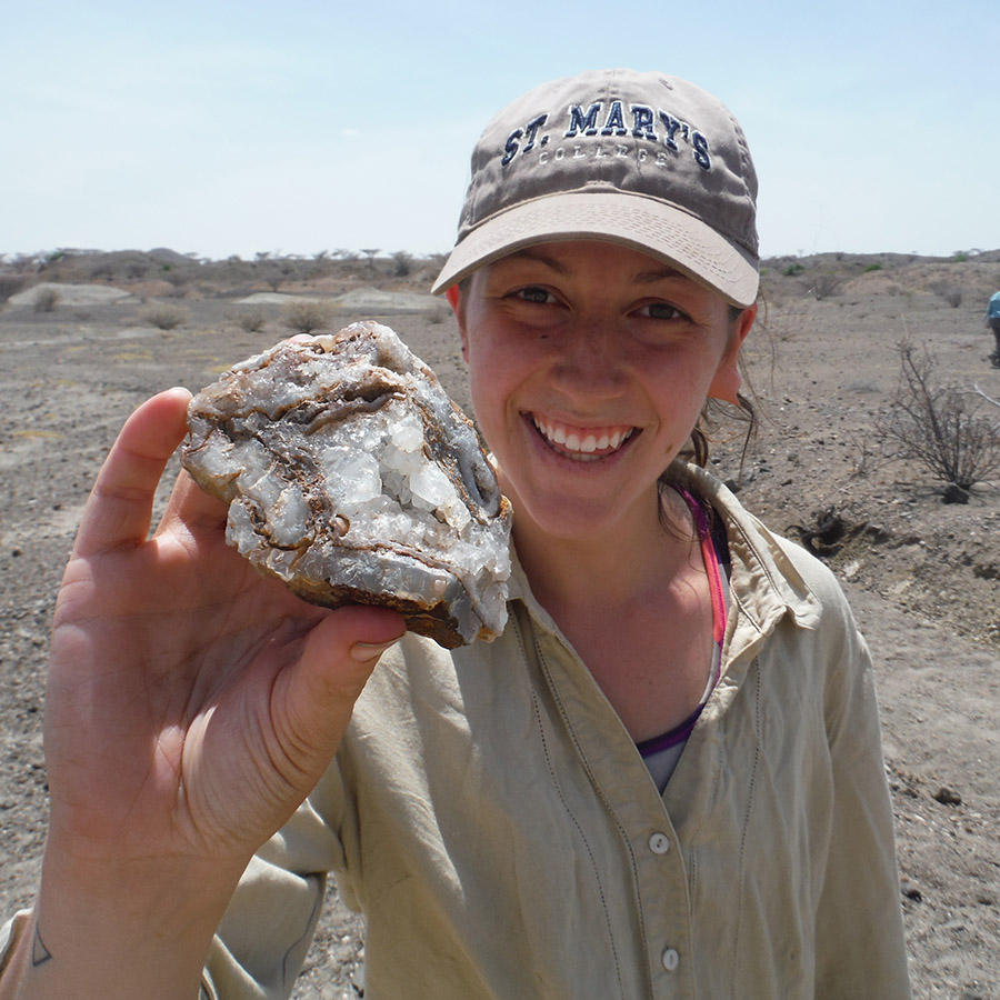
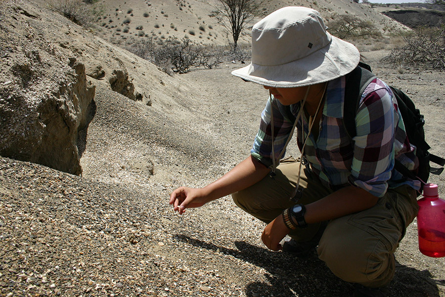
Anna shows off her mineral find. It looks to be quartz. We often found geodes with quartz and clumps of cryptocrystalline silica that form when hydrothermal fluids and/or groundwater passes through voids (vesicles) in volcanic deposits and precipitate the minerals from the outside-in.
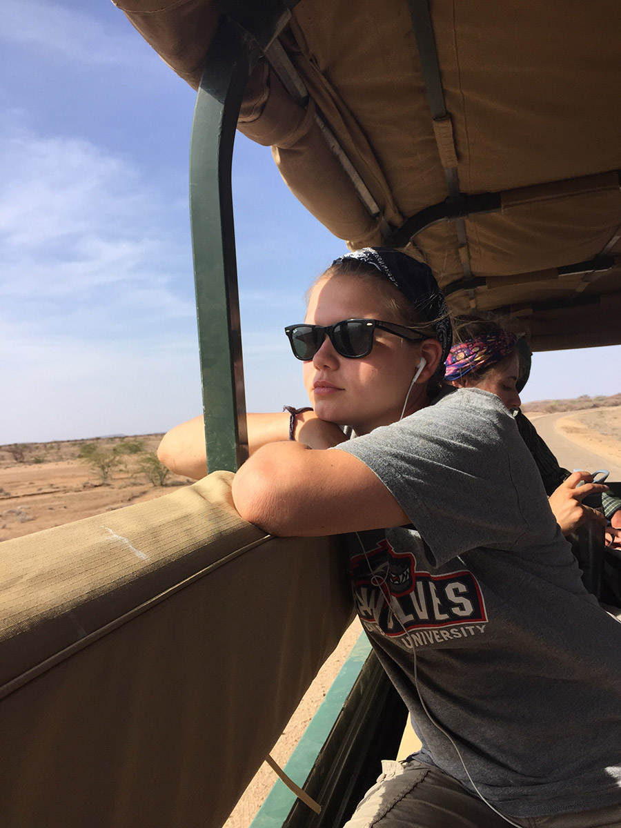
On the ride back to camp. Rachel daydreams and imagines what life was like for humans in the Turkana Basin during the Holocene lake highstands…
- Holocene lake deposits Part 2- Epim
On our next trip, we visited more lacustrine deposits from the Holocene. But first, here are a few pics before the trip of students learning how to measure the height of an outcrop.
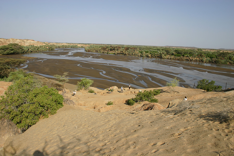
View from camp of the Turkwel River and the hill measured in this activity. The deposits here are ~3.5 million year old fluvial deposits topped with lake beds from the last 10,000 years.
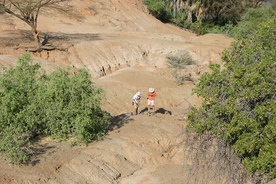
Sam and Kate begin measuring their section at near the bottom of the slope.
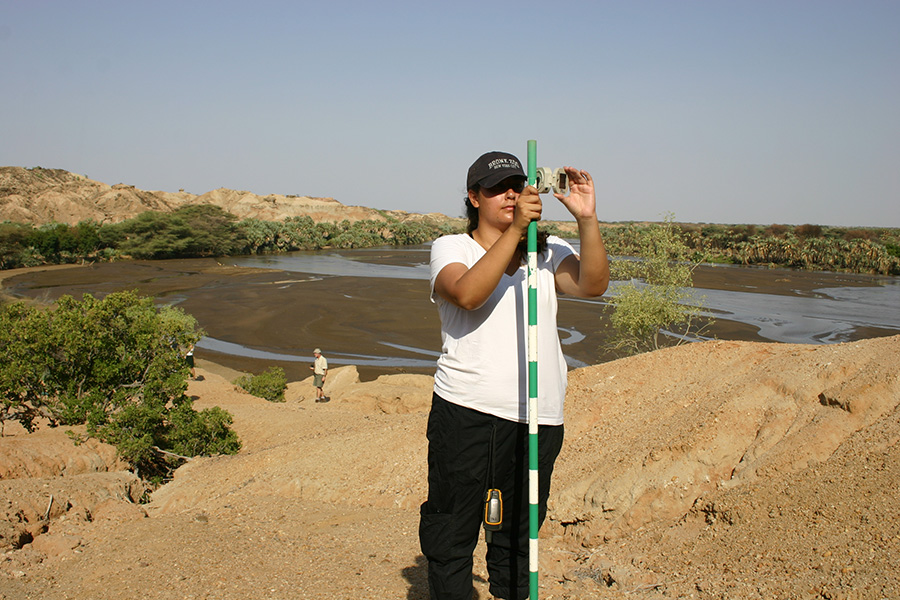
Aileen uses her brunton compass and a jacob staff to measure the height of the slope. She spots her next point at a height of 1.5 meters that she will position herself at next in order to measure up the slope. Like a carpenters level, she must make sure the brunton is leveled at a particular height.
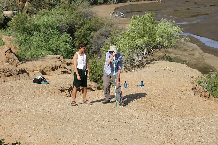
Dylan and Mike take turns measuring the height up the hill.
Dylan photobombs Anna and Jayde.
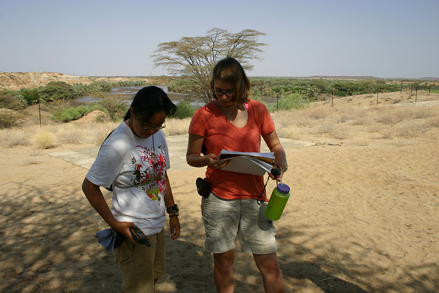
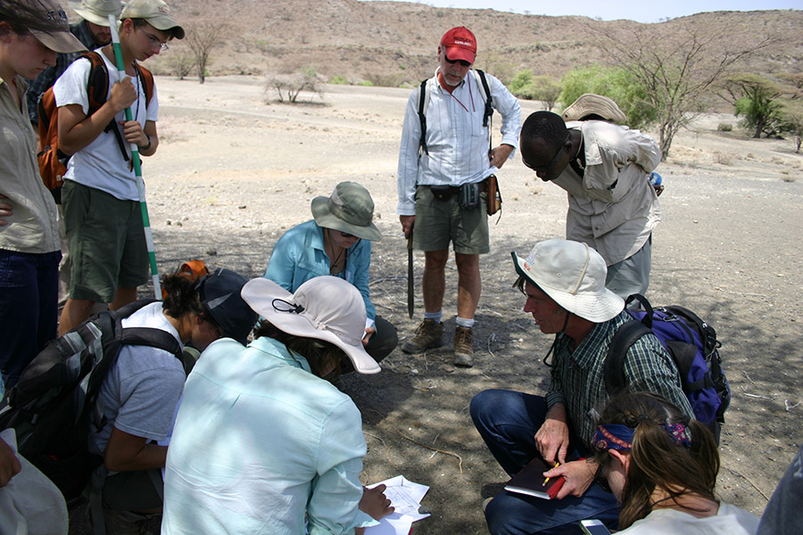
Sam and Kate check their GPS data. In this assignment they will compare their height measurements with GPS and GoogleEarth.
At Epim, located approximately 15 kilometers east of camp, students used their geo-knowledge to examine the outcrop and interpret the ancient depositional environment.
Our driver Erasmi poses on top of Holocene lake beds at Epim. The angled beds in the bottom half of the picture did not form from faulting. Instead, deposition followed the topography of the past landscape that was similar to the slope of this modern hill.
Larisa marches down the hill to take a better look at the outcrop and create a sketch before beginning her measurements.
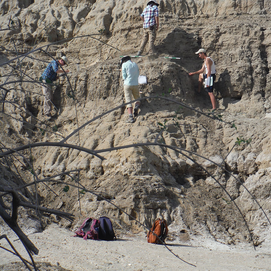
Mike, Kate, Sam, and Dylan examine the sediment and measure the thickness of each bed in their section.
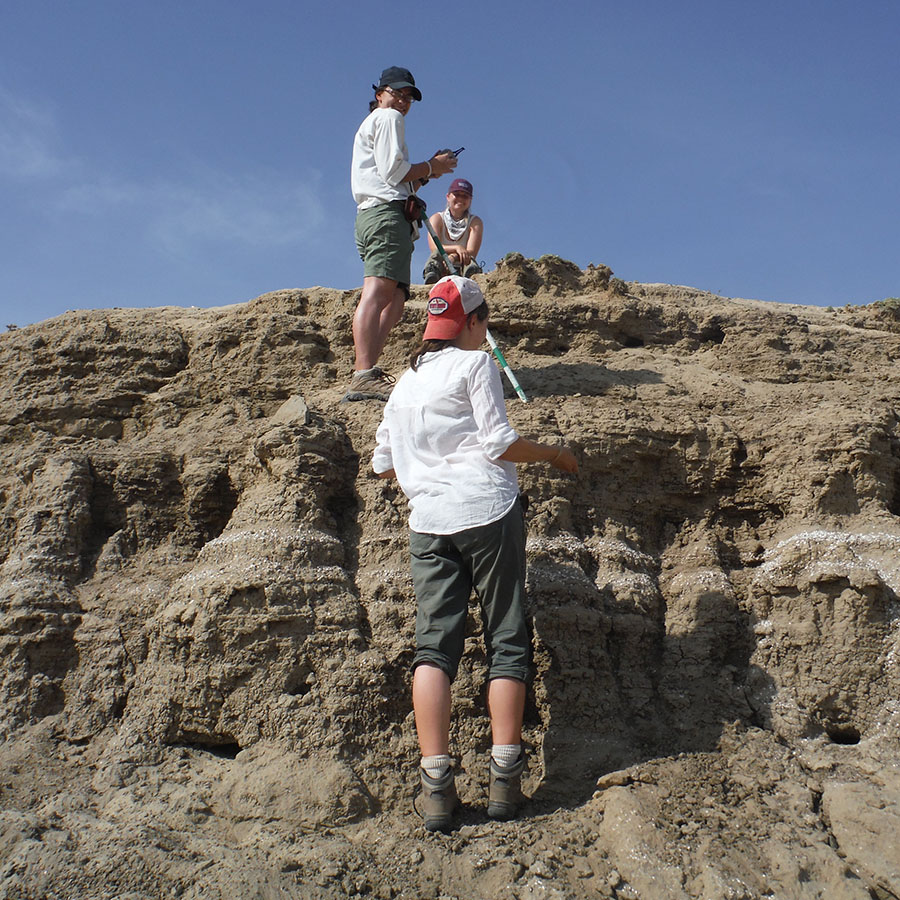
Larisa, Jayde, and Rachel are almost to the top of their section. They were trying to decide where one bed ends and another begins.
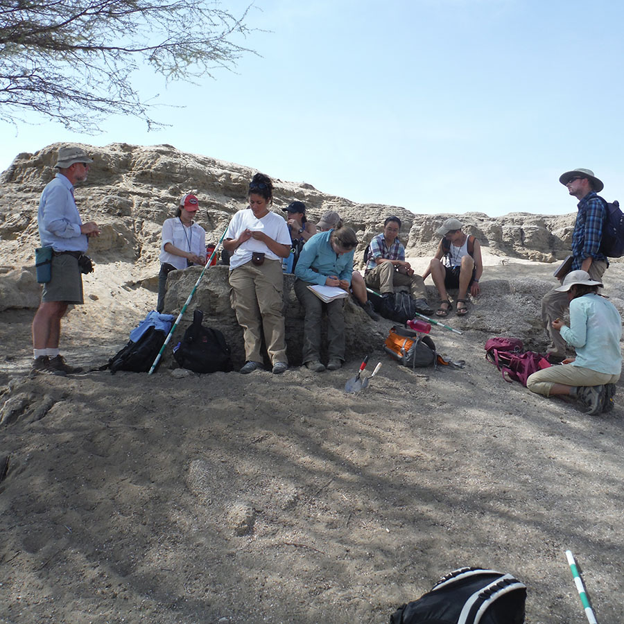
Students meet back at the bottom of the hill to add final touches to their notes.
Meanwhile, I explore other Holocene lake beds within the modern Turkwel River, a few kilometers away.
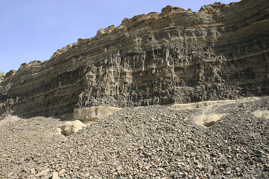
This type of cross-bedding and lamination looks like deposits found along the shoreface of a high-energy lake or marine setting.
Leaf impressions preserved in Holocene mudstones. The environment in that location was very different than today- I could not find any matching leaves from trees along the banks of the modern Turkwel River.

One group’s stratigraphic section of Epim.
- Future?
As mentioned previously, 90% of the water in Lake Turkana is due to the Omo River. However, the landscape of the basin will soon be changed due to forces by man. Three dams have been erected along the Omo River in Ethiopia and two more will be built. In addition, there are plans in effect for large-scale irrigation of sugarcane crops that will also decrease the amount of water into the Turkana region in northern Kenya. What will happen to the people, animals, and flora that live around the lake? Don’t they matter!? Not only will it affect the actual lake but this will also have effect on the groundwater. I will not go into this in much detail but if you are interested in learning more, please see Friends of Lake Turkana and read Sean Avery’s 2013 report titled “What Future for Lake Turkana?”
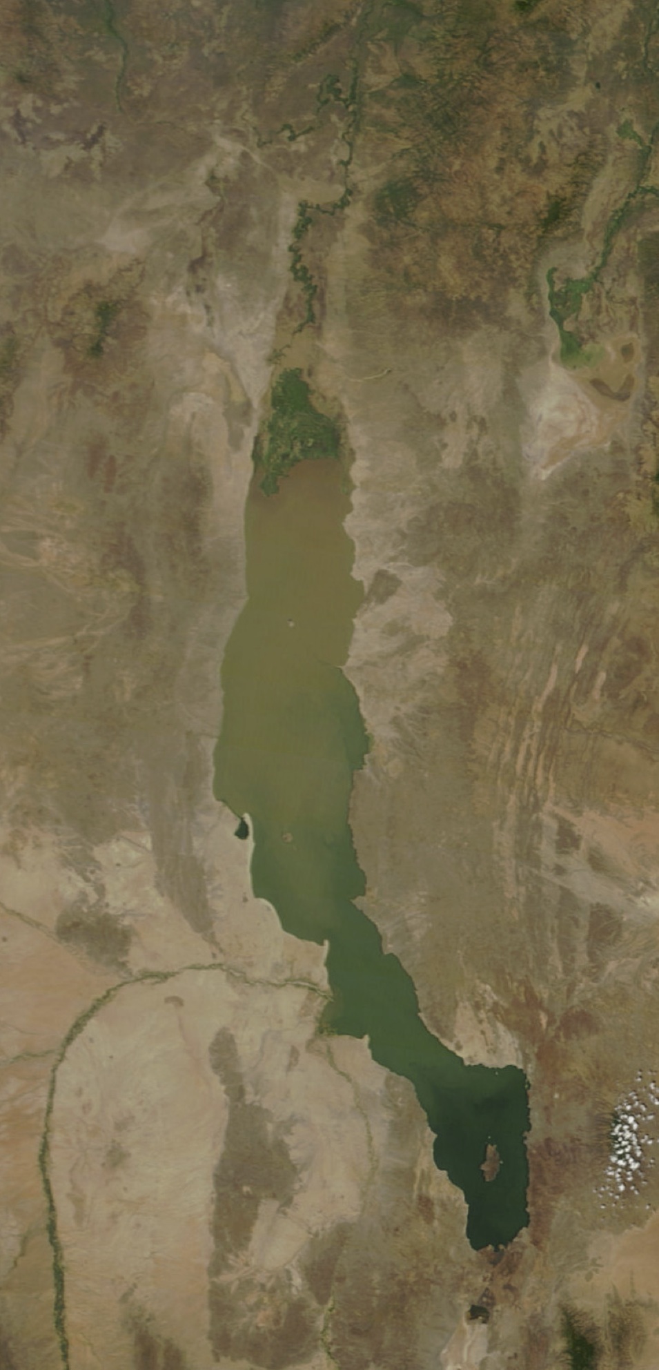
MODIS satellite image from January 2010.
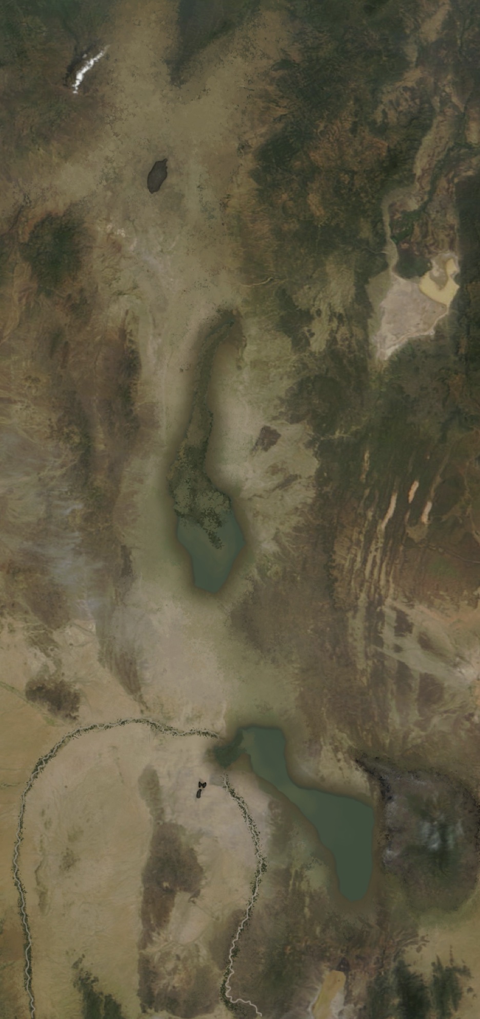
Holocene lowstand about 4,000 years ago. Paleogeography diagram created by Patricia Schwindinger and Dr. Craig S. Feibel. Something like this will likely be the future for the Turkana Basin.