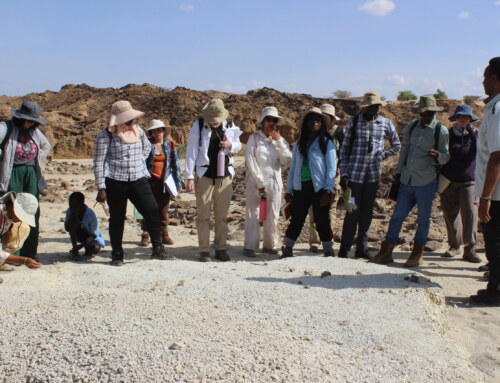
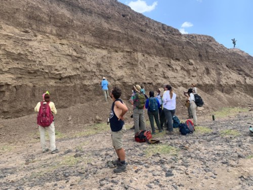
The Geology module started on Monday with a quick introductory lesson on safety to prepare students for the field excursions. Our instructor, Dr. Greg Henkes, introduced the students to the geology of Ileret, a locality in the East of the Lake Turkana Basin, characterized by Plio-Pleistocene deposits. A mini-expedition in the afternoon to the Koobi Fora strata in Area 3 provided an opportunity for the students to explore the outcrops there.
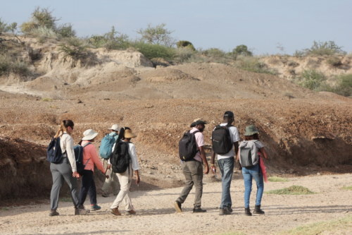
First Geology hike in Area 3. Photo credit: Acacia Leakey.
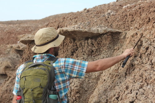
Dr. Greg Henkes points to some ancient fish nests. Photo credit: Acacia Leakey.
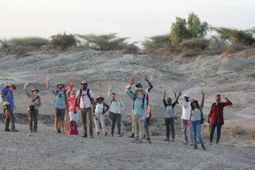
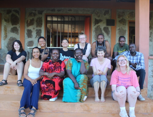
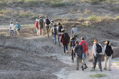
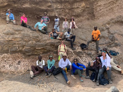
In high spirits after the first geology hike! Photo credit: Acacia Leakey.
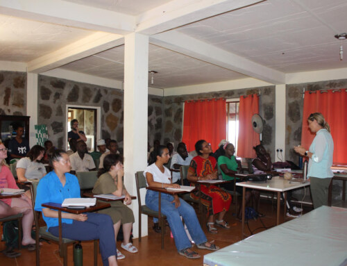
Following were practical days where students learned more about mapping and later created slope profiles in Area 6A using the GPS, Brunton compass, and the Jacobs staff. These are key tools used by geologists in navigation and slope profiling. They also spent time in the laboratory with Dr. Greg Henkes identifying the different types of rocks and minerals in our collection. The collection included sedimentary, metamorphic, and igneous rocks.
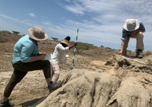
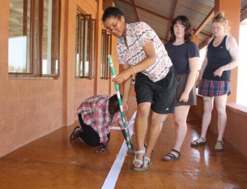
Keely, Hillary and Adalind mapping a slope profile in Area 6A. Photo credit: Medina Lubisia
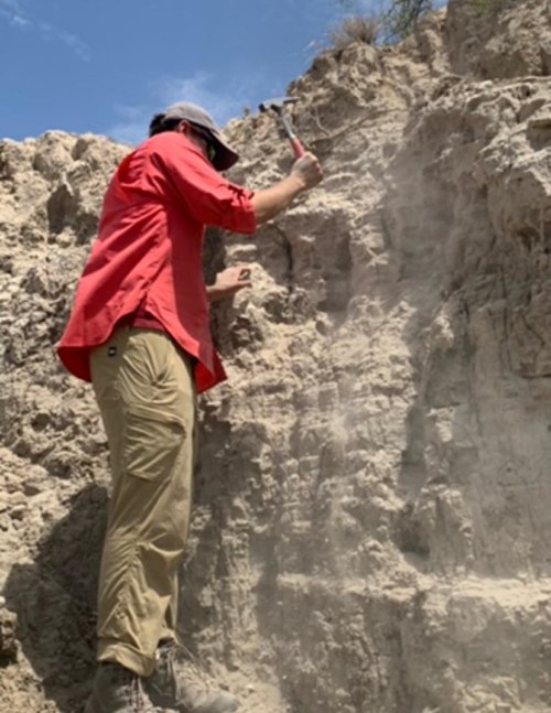
Jack using the geological pick to obtain fresh surface for mapping. Photo credit: Medina Lubisia.
A geological walk through the Tulu Bor Delta to the shoreline of Lake Turkana was the perfect setting for Friday’s lesson. Students had the chance to examine the stratified sediments that serve as a timeline for processes that shaped the earth from the past. The lithology of the modern Tulu Bor deltaic environment served as a window to understanding this ancient environment that would have influenced much of the basins sediments. Later, we visited the Main Fish Beds in Area 6A, 6B and Area 3 to identify geological sections for mapping projects.
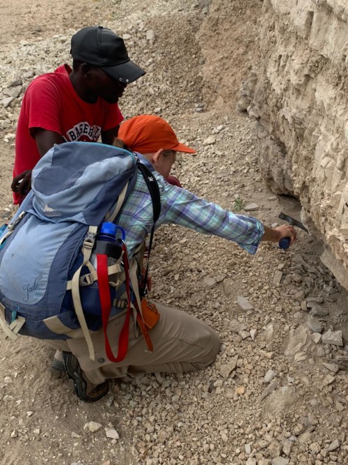
Tara and Emmanuel trying to get samples using the Geo-hammer. Photo credit: Medina Lubisia.
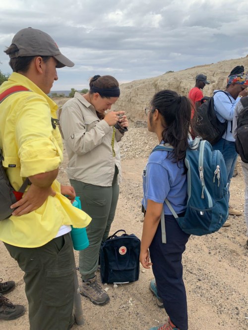
Mallika and Jack watch as Marlee uses a hand lens to examine the grain size of a sediment sample. Photo credit: Medina Lubisia
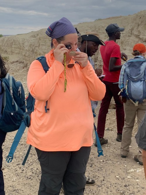
Adalind using a hand lens to examine the particle size of a tuff. Photo credit: Medina Lubisia
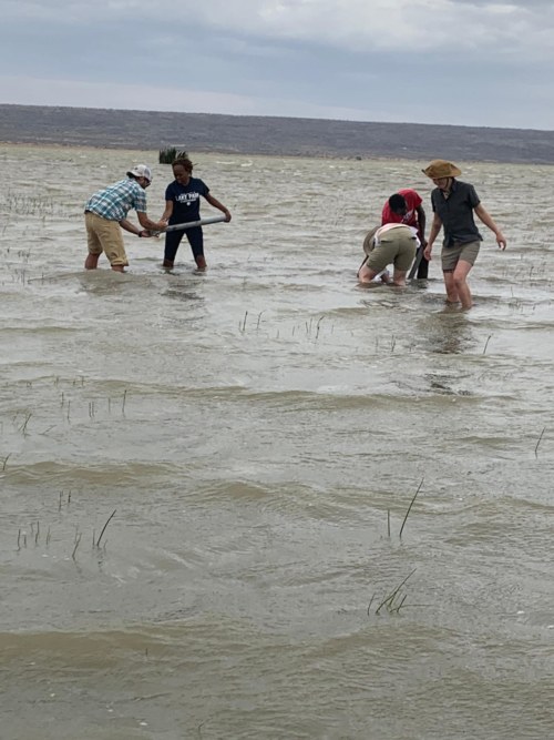
Dr. Greg Henkes helping students collect core sediment samples for analysis.
Photo credit: Medina Lubisia.
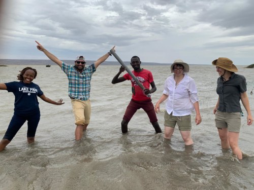
A successfully collected core sample from the lake! Photo credit: Medina Lubisia
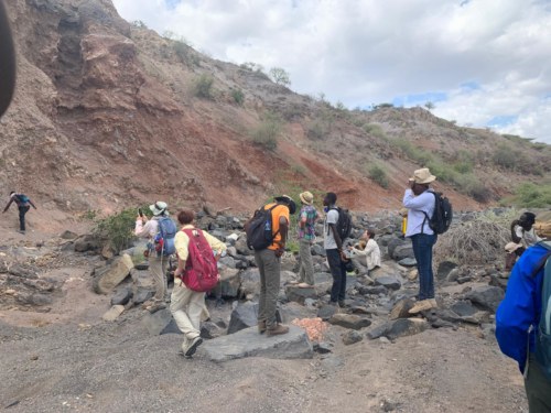
On Saturday we visited Area 41, full of Plio-Pleistocene deposits. Students were lucky to visit a site studied and excavated by David Braun some years back that yielded not only archaeological data but also provided a context to understanding the geology of the area. Last week, Dr. Greg Henkes led the students to the outcrops of the Gombe group basalts that sit underneath the Plio-Pleistocene deposits in Area 41. Basalts are extrusive igneous rocks that characterize much of the lithics in the area.
Students examining an outcrop to determine the processes that laid the sediments. Photo credit: Medina Lubisia
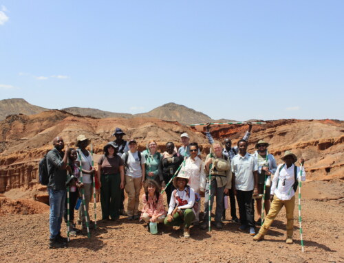
The TBI crew at the Gombe group basalts, Area 41. Photo credit: Wambui Mbogo
Students standing on some basalts as they examine the Gombe group basalt outcrops. Photo credit: Hillary Babalola