The objective of this project is to obtain sediment cores, covering key time intervals, from several of the world’s most important fossil hominin and early Paleolithic artifact sites, located in Kenya and Ethiopia; ultimately the information gleaned from cores will address questions about the role of environmental forces in shaping human evolution.
|
A 5 meter cliff section of lake clays exposed along the dry river Kaitio in West Turkana. The white band near the top is the KBS Tuff, a volcanic ash that fell into the lake 1.87 million years ago. The orange band in the middle of the cliff is an oxidation zone, where organic material was ‘burned out’ by chemical reactions near the Earth’s surface.
|
In June 2008, a team of geologists conducted a seismic survey near Nariokotome on the west side of Lake Turkana in northern Kenya. The immediate task of the survey was to demonstrate that the subsurface geology was conducive to preserving the long continuous record that is the goal of the project. The two-week field campaign involved a seismic source, literally ‘thumping’ the ground with a hydraulic piston, while an array of sensitive acoustic geophones collected the sound waves that bounced back off of subsurface layers. Months of data processing followed, and this test demonstrated that the targeted drilling site looks ideal. The sedimentary layers from the ancient lake appear continuous, undisturbed, and unbroken by faulting. These results will be presented at the Scientific Drilling for Human Origins Workshop in Addis Ababa 17 -21 November. The coring project itself is slated for the summer of 2011.
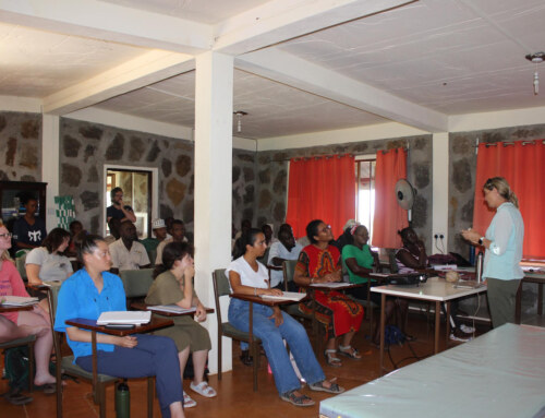
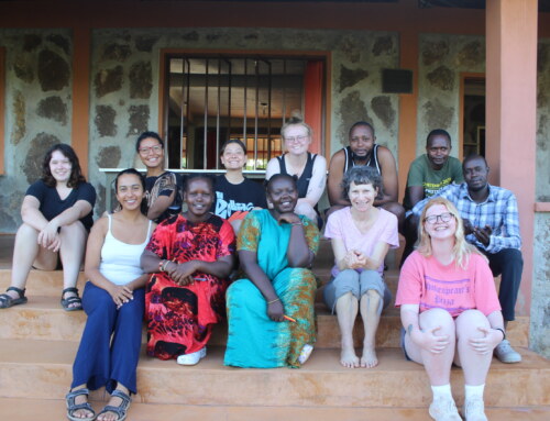
The drilling project involves an international team of scientists from a wide range of disciplines, with interests in the environmental history of the Turkana Basin. It is directed by four geologists with a long association with Turkana lakes: Craig Feibel (Rutgers University), Tom Johnson (University of Minnesota, Duluth), Dan Olago (University of Nairobi) and Jean-Jacques Tiercelin (CNRS). The project will link with related research into the ancient history of the Turkana Basin (Koobi Fora Research Project, West Turkana Archaeological Project), the Late Pleistocene and Holocene environment of Lake Turkana (Vrie Universitat Galana Boi Project, Later Prehistory of West Turkana Project), and developing work establishing environmental monitoring of the basin today.
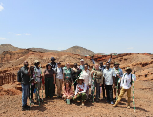
Pioneering geological work by Frank Brown in West Turkana began as part of the National Museums of Kenya’s paleontological investigations in the 1980s. He demonstrated that a key time interval in hominin evolution, spanning roughly 2.0 to 1.5 million years ago, was preserved in a thick lake sequence exposed along the banks of the laga Kaitio. These lake shales presented difficulties for outcrop geology, as they eroded easily, forming rounded hills and slumped banks. In addition, the exposure of these clays to the surface weathering environment caused chemical reactions and oxidation, destroying some sensitive environmental markers. But only a short distance away, the same layers are still buried deep—due to the tilting of these deposits during the formation of the rift valley—and hopefully better preserved.
That’s the attraction of scientific drilling: recovering a long continuous record that has not been subjected to the destructive chemical environment at the surface. Along with fossil pollen, algae, and a wide range of invertebrate lake dwellers, the cores will also preserve fish, snails and even fragments of plant wax (the fossil ‘skin’ of ancient leaves), many of which may serve as complex “proxies’ or indicators of the past. Organisms often signal ecological preferences in their presence, absence or abundance, while at the same time many fossils can be analyzed chemically for additional kinds of data. All of these comprise an environmental “tool kit.” Each group includes environmentally sensitive organisms, whose presence may mark wet or dry periods, dusty intervals, and changes in water chemistry of the lake.
Deciphering how African climate and landscapes evolved through this critical interval may bring us one step closer to understanding the diversification of our early ancestors, their increasingly complex technological choices, and the factors that ultimately pushed Homo erectus Out-of-Africa.